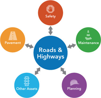
ArcGIS Roads and Highways is a linear referencing system (LRS) solution for departments of transportation that extends ArcGIS. The capabilities the Roads and Highways LRS platform supports include the following.
Integration with external system event data
Highway agencies manage and maintain a broad spectrum of linear referencing data about their roadways. Often, this information is distributed throughout the agency in multiple, disparate systems. These systems may not even reference the data to a common linear referencing method (LRM). For example, the public safety department might maintain crash data based on mileposts located along the highway, while the maintenance department may locate sign and pavement assets based on a distance from a known point of origin. With Roads and Highways, the measures associated with data in these external systems can be kept current and synchronized with the edits made to the LRS. In addition, Roads and Highways supports multiple linear referencing methods, enabling data interoperability and sharing across business units.
Communication of LRS updates through redlining
A common challenge in a GIS-based enterprise LRS is that business systems become unsynchronized with the GIS, because the business unit must continue adding records to its databases even when the GIS is not up to date. Roads and Highways provides a mechanism for communicating updates to the LRS so business units can continue working without waiting for the GIS to clear its edit queue. The redline is a markup feature in the geodatabase that stores information about changes in the LRS. It contains measure values, so it can be used as a substitute route feature until the actual LRS Network has been updated in the GIS. When you become aware of an error, omission, or planned change in the LRS, you can create a redline feature that GIS editors use to update the LRS.
LRS Network management
Visualize and maintain your roadway LRS networks and associated event data. Edit and maintain LRS networks. Provide rule-based location management that allows you to define how event measures and route associations should react to changes in the LRS, keeping your event data aligned with roadway LRS Network changes.
Event location management
Roads and Highways supports updating event measures and route associations based on changes to the LRS Network. For events modeled in the geodatabase and registered with Roads and Highways, event measures and route associations can be updated directly. Roads and Highways provides a REST service for event systems modeled outside the geodatabase to acquire measure updates.
Roads and Highways supports the following measure behavior rules:
- Stay Put—The x,y location of the event is preserved, but the m-values may change.
- Move—The m-values are preserved, but the x,y location is subject to change.
- Retire—The m-, x-, and y-values are preserved, but the event record will not display unless the event layer is rolled back to a state before the event's retire date.
- Snap—The location along the route is preserved, but in retired portions of a route, the event may change ownership to a concurrent route in that location; m and x,y-values and route references are subject to change.
Support for multiple linear referencing methods
Roads and Highways is a multi-LRM LRS. The network model supports mashing up event data from different linear referencing methods. It also supports translating event data from one linear referencing method to another.
Linear referenced map services
Roads and Highways extends an existing map service with an additional REST service capability for linear referencing when a map is published with the Linear Referencing option enabled.
Map services with linear referencing enabled support the following:
- Provide LRS-based network and event layer information.
- Translate coordinate locations to routes and measures.
- Translate (locate) routes and measures to coordinates or polylines.
- Validate route and measure values.
- Convert measures between linear referencing methods (LRMs).
- Multilayer, transactional event editing, with support for overlap retirement and coincident event merging.
Learn more about the Linear Referencing Service REST API and enabling the Linear Referencing capability.
Included JavaScript web developer samples
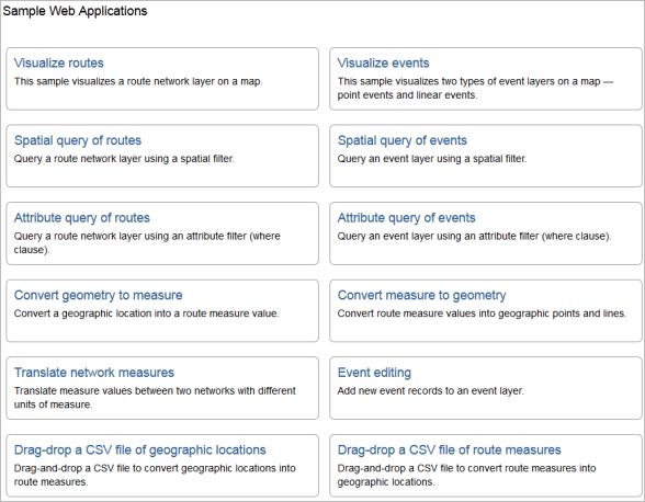
Roads and Highways includes JavaScript developer samples that demonstrate the use of available REST services.

These developer samples demonstrate how a web or connected mobile developer can accomplish the following:
- Visualize networks on a map.
- Visualize events on a map.
- Locate measures on a route.
- Perform spatial and attribute queries for routes.
- Perform spatial, measure, and attribute queries for events.
- Convert routes and measures to coordinates.
- Convert coordinates to routes and measures.
- Convert measures between LRMs.
Roads and Highways provides online hosted versions of these developer samples.
Web-based event data editing
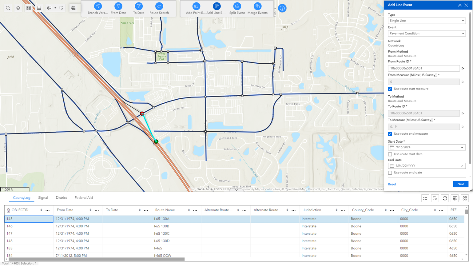
Experience Builder is available through ArcGIS Enterprise and supports the editing of event data in a web browser through Location Referencing widgets.

Platform for reporting
Roads and Highways spatially enables event data from non-GIS systems and integrates it through the LRS. Roads and Highways, in concert with ArcGIS, can be used to generate a variety of reports as well as produce data products and maps that support safety analysis, traffic congestion analysis, infrastructure maintenance planning, and other analyses of roadway data. These reports and data products can provide government and public entities transparency into many facets of highway-based data, such as highway assets, incidents, and roadway characteristics.